-
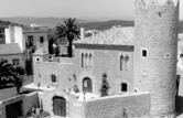
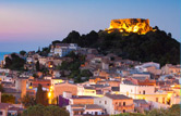
DISCOVER BEGUR
-
-
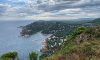
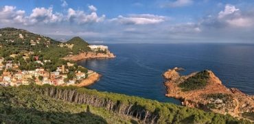
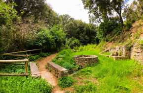
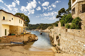
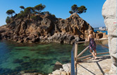
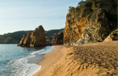
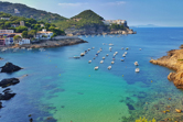
BEACHES AND COVES
-
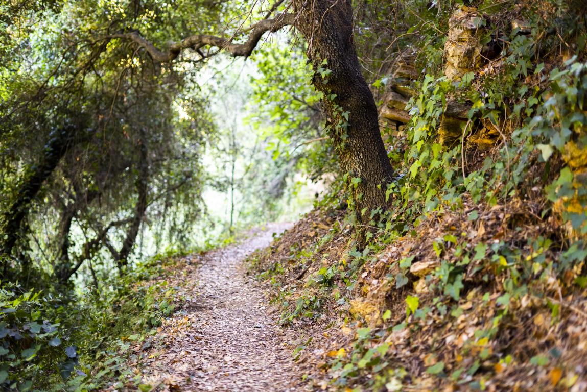
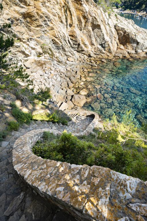
- WHAT TO DO
-
PLAN YOUR STAY
-
Where to sleep
-
Where to eat
-
How to get here
-
-
-
DISCOVER BEGUR
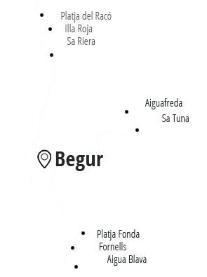
Why Begur? Reasons to visit us The Town Weather Follow us! Interactive Map BEACHES AND COVES Platja del Racó Illa Roja Sa Riera Aiguafreda Sa Tuna Platja Fonda Fornells Aiguablava -
WHAT TO DO
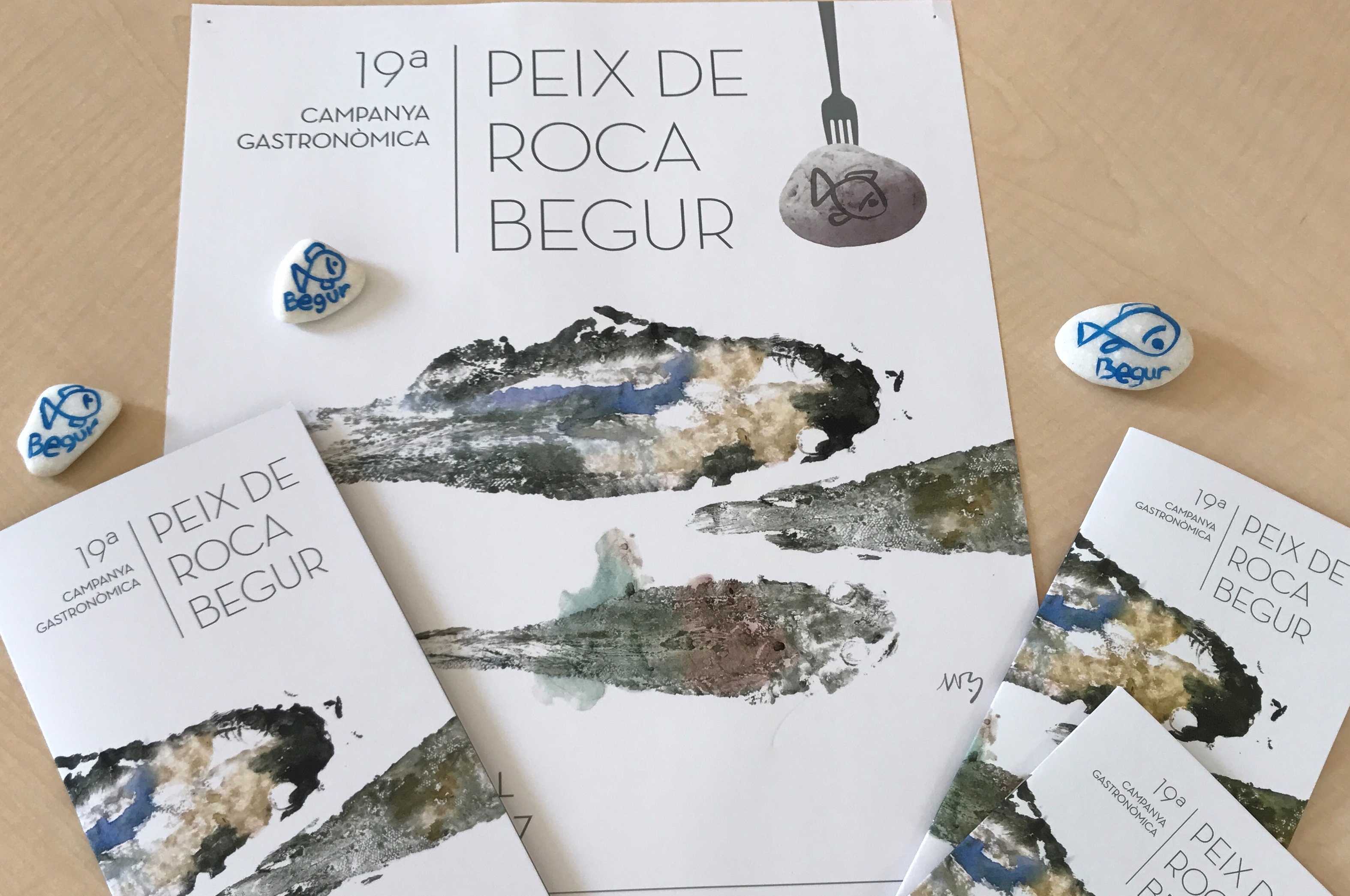
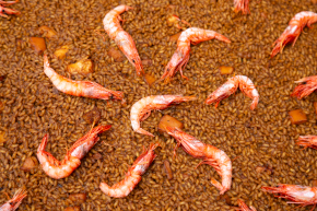
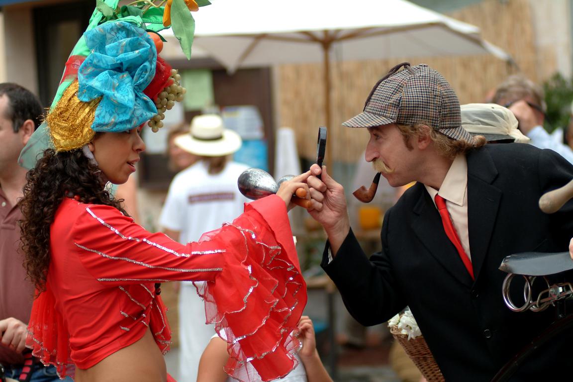
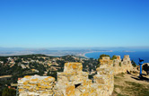
Coastal Paths Hiking Culture Beaches and Coves Local festivals Gastronomic campaign Gastronomy Indians Fair Lookout route Watersports Nightlife Experiences Agenda of activities -
PLAN YOUR STAY
Where to eat Where to sleep How to get here Moving around Begur Companies and organisations Telèfons d'interès -
GALLERY PICTURES
-
VIDEOS
-
About us
-
Brochures
-
Links
-
Contact
-


-
-
-
BEGUR TOURISM
OFFICE
Av. Onze de setembre,
517255 BEGUR (Girona)
Tel. (+34) 972 624 520
turisme@begur.cat
-